Farming: Does the D3 software determine Eligibility Automatically?
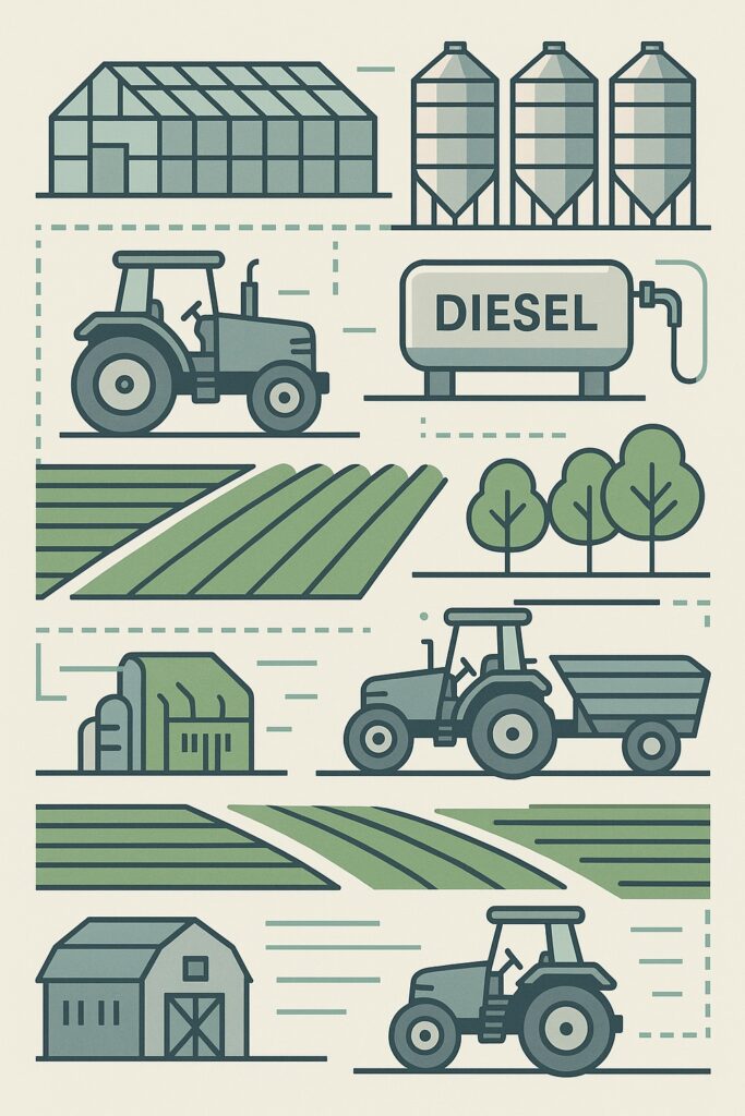
We use advanced geofencing and intelligent asset mapping to automatically determine diesel rebate eligibility in line with SARS Schedule 6 requirements. Each farm is digitally mapped to define the Primary Agricultural Area, incorporating key Points of Interest such as crop fields, irrigation zones, and on-farm haul routes. Within these boundaries, our platform classifies equipment based on their operational role — distinguishing sole-purpose agricultural machines (for example, tractors and harvesters when used exclusively for field operations like planting, cultivating, spraying, or harvesting) from multi-purpose assets (such as utility or service vehicles, or a tractor when used for non-production tasks). As farming operations change, clients can update the geofences and Points of Interest directly within the DieselCubed software, using inputs from their own farm managers. This ensures the system always aligns with the active layout of the farm. By combining accurate geofence data with real-time fuel transactions and activity logs, DieselCubed automatically validates which litres are used for eligible production activities and which are not — making every claim defensible, compliant, and auditable, while eliminating manual record-keeping and reducing SARS verification risk. #dieselrebate #tax #diesel #sars